
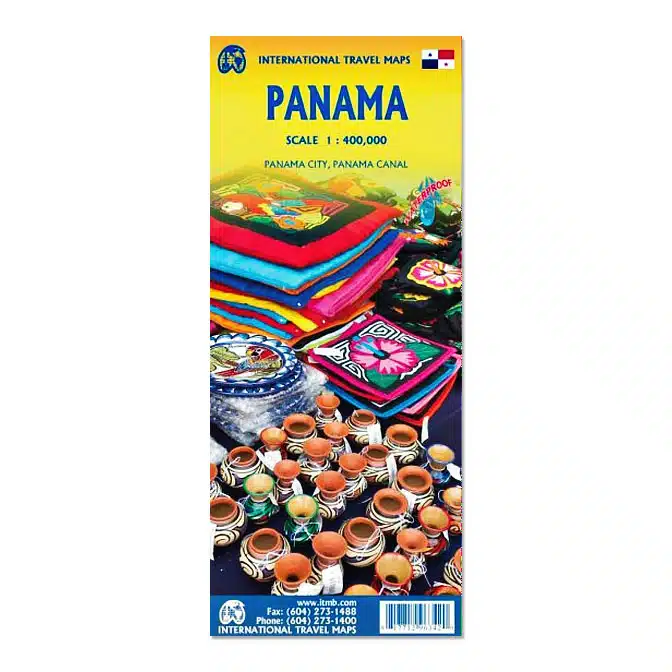
Panama Travel Reference Map
Original price was: $15.95.$14.50Current price is: $14.50.
Our Panama Travel Reference Map is waterproof, up to date, and the most useful map we have found to this very birdy country.
Description
Scale: 1 : 1 200 000
ISBN: 9781771296342
Publisher: International Travel Maps
11th Edition Edition
Year of Publication: 2026
Our Panama Travel Reference Map is the most useful map for your trip to Panama, whether self-guided or on a tour. We love having a paper map to trace our route and recall the fantastic places we’ve been. ITMB is a premier map maker in Canada, and produces up to date maps when necessary. This one is the 2026 update.
The Central American country of Panama is actually an east-west country, not a north-south one as one might expect.
Its historic claim to fame is two-fold. It was here that Spanish conquistadors first set eyes on the vast Pacific Ocean, and it is here that much of the world’s commercial goods pass from the Pacific to the Atlantic.
The Canal is extremely important, and a “must see” attraction, but the country offers much more. Santa Catalina is a world-class surfing destination. The Pearl Islands feature virgin forest and pristine beaches. Boquette, in the northern mountains, is the valley of the flowers. Panama City is a vibrant economic centre for shopping.
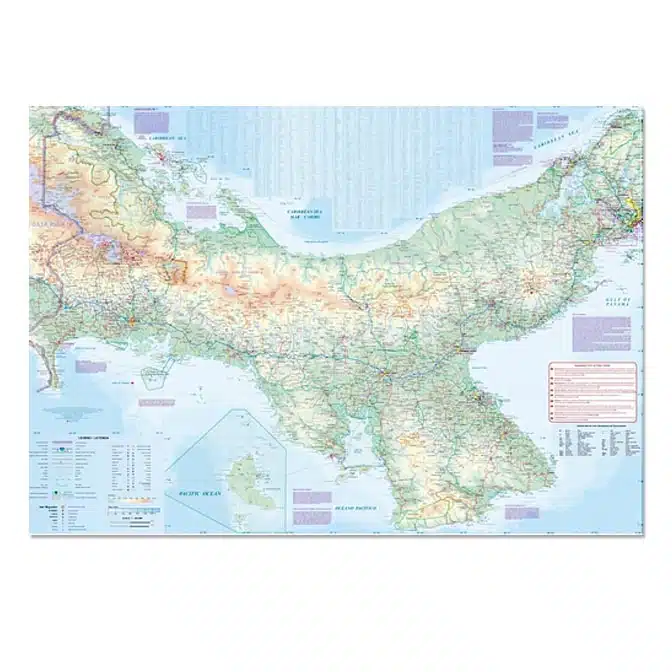
In recent years, Panama has invested heavily in tourism. The roads are excellent, the people are friendly, the restaurants are excellent, and the country is peaceful. This is a very up-to-date edition of Panama, complete with excellent inset maps of Panama City and of the canal area.
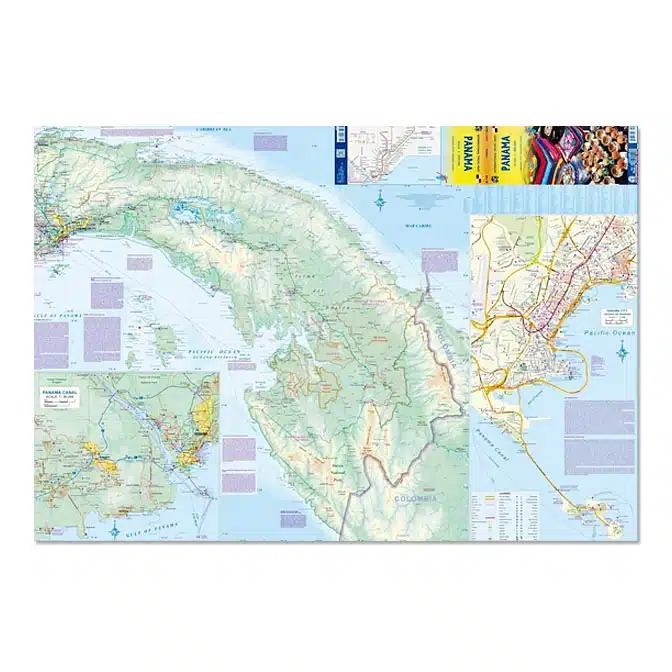
Side 1 covers the country from the Costa Rican border to the Canal region, showing roads and attractions, such as Boquete and Santa Fe. The second side continues east of the Canal to the border with Colombia.
It also includes a detailed inset map of the portion of the Canal of greatest interest to visitors and an equally detailed street map of central Panama City, the capital. The city’s new Metro rapid-transit line is now shown, as is the improved causeway to the nearby offshore islands.
We have not included the transit route through the Darien Gap that is used by desperate families trying to reach safety in America, as we feel that were we to do so, it may encourage even more tragedies.
Regardless, Panama, and neighbouring Costa Rica, remain touristically popular.
- Map size: 27″ x 39″
- Printed on durable waterproof stone paper, ideal for use in the tropics.
- Inset maps of Canal area and Panama City.
- 2026 edition
Additional information
| Weight | .30 lbs |
|---|---|
| Dimensions | 4.33 × .39 × 9.69 in |
You may also like…
-
Sale!

The Warbler Guide
Original price was: $29.95.$26.95Current price is: $26.95. Read more -

Watching Warblers East DVD
$35.95 Add to cart -
Sale!
A Guide to the Birds of Mexico and Northern Central America
Original price was: $63.00.$56.40Current price is: $56.40. Read more -
Sale!
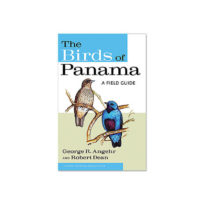
The Birds of Panama
Original price was: $35.00.$31.50Current price is: $31.50. Add to cart
Related products
-
Sale!
Tanzania Travel Reference Map
Original price was: $15.95.$14.50Current price is: $14.50. Add to cart -
Sale!
Galápagos Islands Travel Reference Map
Original price was: $15.95.$14.50Current price is: $14.50. Add to cart -
Sale!
Bolivia Travel Reference Map
Original price was: $15.95.$14.50Current price is: $14.50. Add to cart -
Sale!
Thailand Travel Reference Map
Original price was: $15.95.$14.50Current price is: $14.50. Add to cart