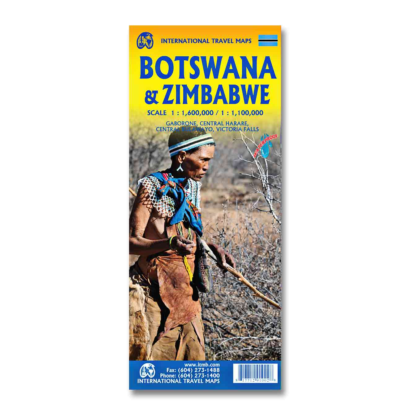
Botswana and Zimbabwe Travel Reference Map
Original price was: $15.95.$14.50Current price is: $14.50.
This Botswana and Zimbabwe Travel Reference Map by ITMB is a perfect travel resource for your safari.
Description
Scale: 1:1,500,000
ISBN: 9781771291002
Publisher: International Travel Maps
7th Edition
Year of Publication: 2020
This Botswana and Zimbabwe Travel Reference Map by ITMB is a perfect travel resource for safari.
Both Botswana and its neighbor, Zimbabwe, form a common entity and a British heritage in Central Southern Africa, but there the resemblance ends. The Bechuana formed an alliance of sorts with the British to protect them from the Boers in the then-nearby Transvaal. Upon a peaceful transition to independence as Botswana, it has evolved into a democratic and peaceful country. Zimbabwe, formerly Rhodeisa, is a failed state, although potentially, Zimbabwe could dominate tourism if governmental affairs were orderly.
This map focuses on Botswana simply because that country is a beacon of orderly pleasantness in the continent; well run, well developed with good infrastructure, and close to the game preserves of both South Africa and Zimbabwe.
The map includes a large inset map of Gaborone, the capital, but most visitors fly into Maun, in the north, which is close to the country’s greatest assets, the Okavango Delta, home of one of the greatest wildlife preserves on earth. The unique central Kalahari Desert area , because it is so unique, but wildlife viewing is the source of the country’s top rating as a tourist destination. To the west is Namibia, another country that has evolved into a sensible independent country, and to the east and south is South Africa.
One can enter Zimbabwe at Kazanula or at Plumtree, to visit Victoria Falls, one of the great physical attractions of Africa. Inset maps of Harare, the capital, Bulawayo, Victoria Falls, and the Great Zimbabwe Ruins make this map essential for anyone visiting this country.
Fully indexed, double-sided and printed on waterproof paper.
This Botswana and Zimbabwe Travel Map Reference includes useful information such as:
- Inset Map of Central Gaborone at 1:12,500
- Major transportation routes
- Archaeological and Recreational sites
- National Parks, Wildlife Parks & Reserves
- International & Provincial borders
- All roads, highways, trails and road distances
- Elevation info
- Extensive labeling of physical features such as mountain ranges, valleys and peaks
- Tourist Information
- Points of Interest
- Detailed Scale of 1: 1,500,000 and 1: 1,100,000
Additional information
| Weight | 0.25 lbs |
|---|---|
| Dimensions | 5 × .25 × 10 in |
You may also like…
-
Sale!

Slide Flex Bino System Binocular Harness
Original price was: $24.95.$19.95Current price is: $19.95. Add to cart -
Sale!
Wildlife of Southern Africa
Original price was: $19.95.$18.00Current price is: $18.00. Add to cart -
Sale!
The Kingdon Pocket Guide to African Mammals Second Edition
Original price was: $25.95.$23.50Current price is: $23.50. Add to cart
Related products
-
Sale!
Ecuador Travel Reference Map
Original price was: $15.95.$14.50Current price is: $14.50. Add to cart -
Sale!
Madagascar Travel Reference Map
Original price was: $15.95.$14.50Current price is: $14.50. Add to cart -
Sale!
Tanzania Travel Reference Map
Original price was: $15.95.$14.50Current price is: $14.50. Add to cart -
Sale!
Australia East Coast Travel Reference Map
Original price was: $15.95.$14.50Current price is: $14.50. Add to cart